Establishment
- Company founded and began offering surveying services in WA's Southwest Region.
- Focus on small land development and civil projects.
- Formed early partnerships focused on reliable site support and practical documentation.
We support construction, infrastructure, mining and land development teams across Western Australia with reliable field data, practical records and responsive communication.

.jpeg)
.jpg)
.jpg)
.jpeg)

.jpg)
Noble Surveys supports construction, infrastructure, mining and land development projects with practical survey advice, reliable field data, clear records and responsive communication.
Founded in 2005, Noble Surveys partners with construction, mining and land development teams across Western Australia to provide survey control, set-out support, UAV capture, laser scanning and underground locating services matched to project requirements.
With 1700+ projects delivered and a 95% repeat business rate, our team brings practical on-site experience, clear communication and proactive problem solving to every engagement—from construction set-out and engineering surveys to as-builts, volumetrics and machine control models.
Our ISO 9001 (Quality) and ISO 45001 (Health & Safety) systems guide field procedures, QA/QC records and handover documentation. We work closely with clients and contractors so survey data, reporting and verification steps remain auditable throughout the project lifecycle.

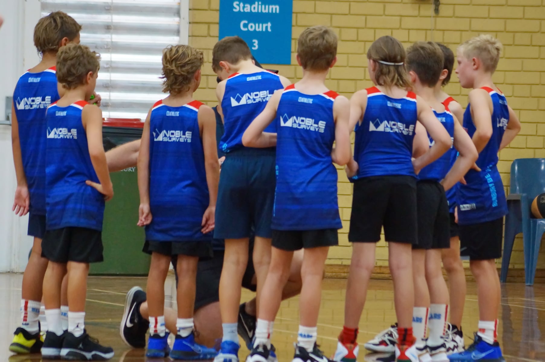
We back junior sporting clubs across WA because strong projects start with strong communities. By helping young people stay active, confident, and connected, we invest in the same regions where our teams and clients live and work.
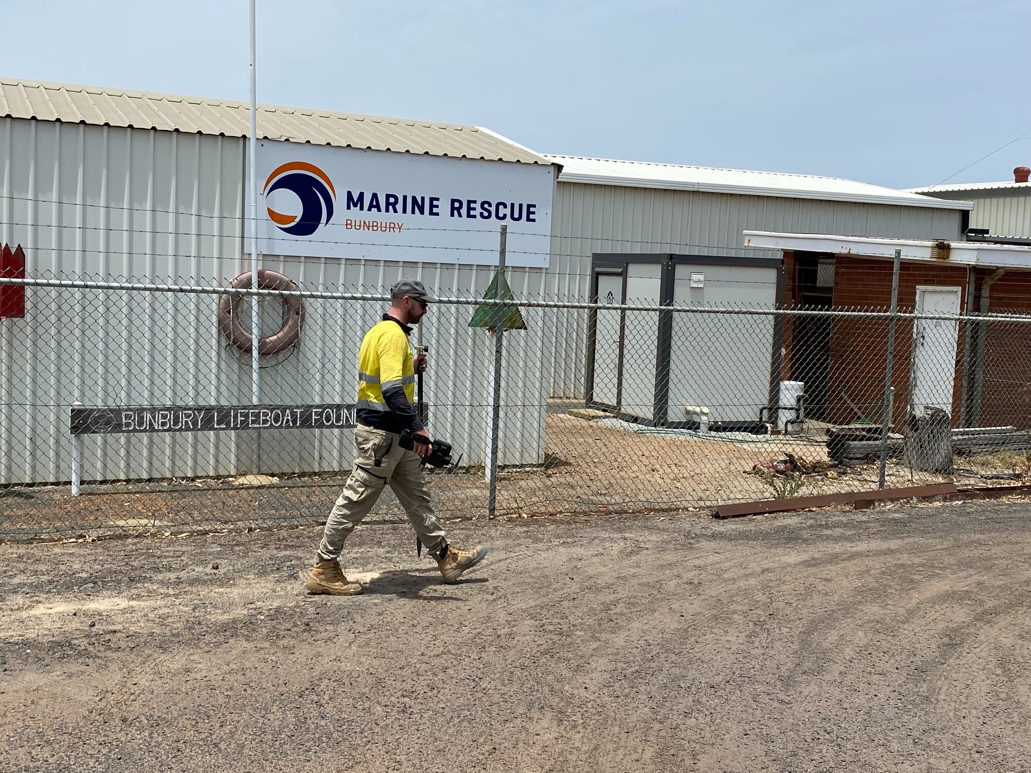
We’re proud to support Sea Rescue and community groups that protect lives and strengthen regional resilience. Our contribution helps keep coastal and regional communities safe—because a trusted partner in the field is also a committed partner in the community.
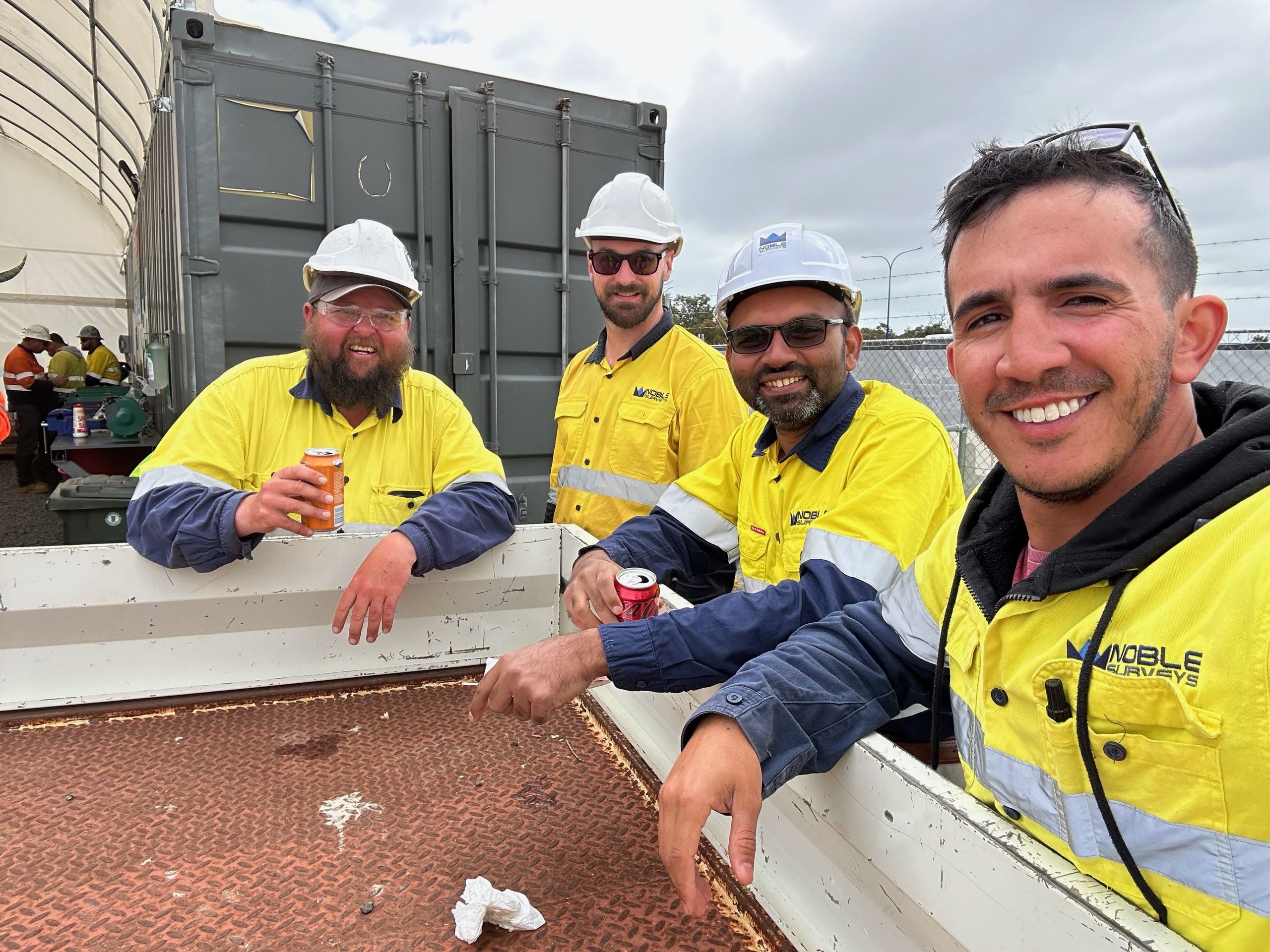
Project managers, commercial teams and supervisors are kept in the loop with scoped deliverables, clear notes and a single point of contact.
We draw on field experience across construction, mining and infrastructure to resolve survey questions quickly and document agreed actions.
Site briefings, look-ahead schedules and timely reporting keep stakeholders informed about progress, risks and next steps.
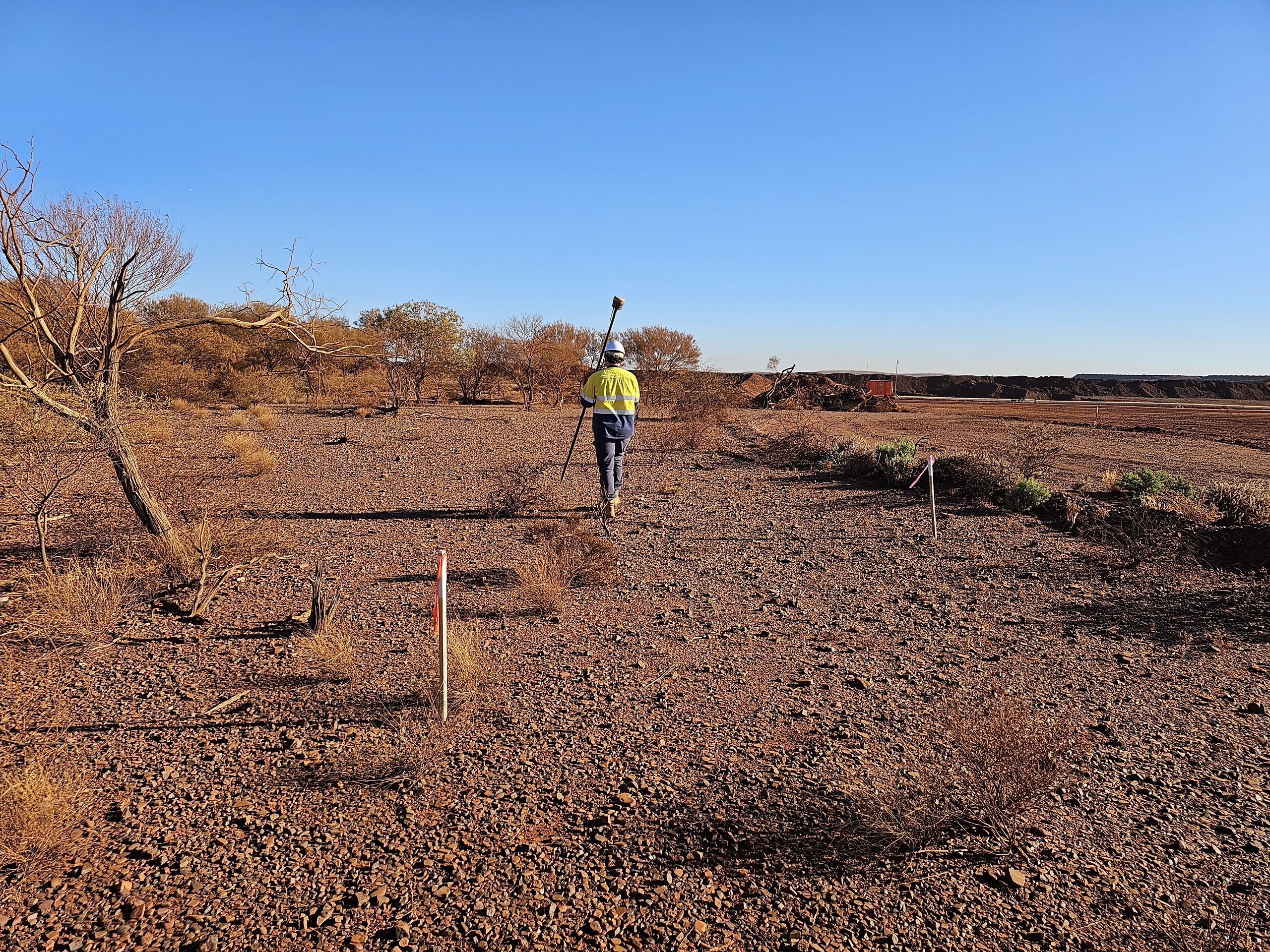
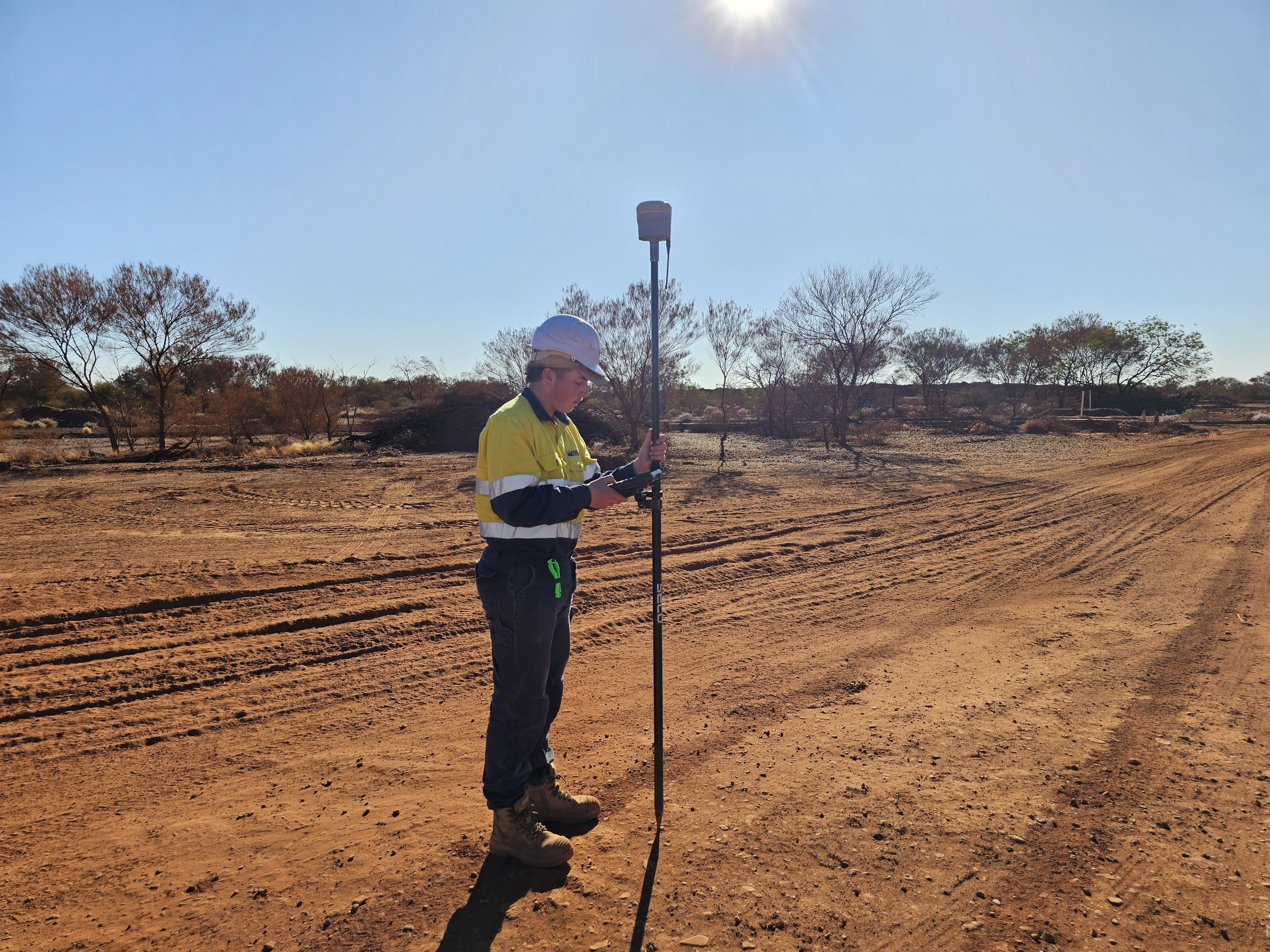
GNSS, total station, UAV, laser scanning and underground locating workflows are matched to the project scope and deliverables required.
We operate with transparency, documented QA/QC and traceable records so project teams can rely on the information we provide.
Bunbury, Busselton and surrounds.
Mining and construction across the Pilbara.
Mining and tailings programs across the Goldfields.
Geraldton, Dongara and inland project towns.
Metropolitan Perth and surrounds.
Mandurah and the Peel region.
Speak with our team about project control, set-out support, UAV capture, laser scanning, as-builts or underground service locating across WA.
Request a proposal