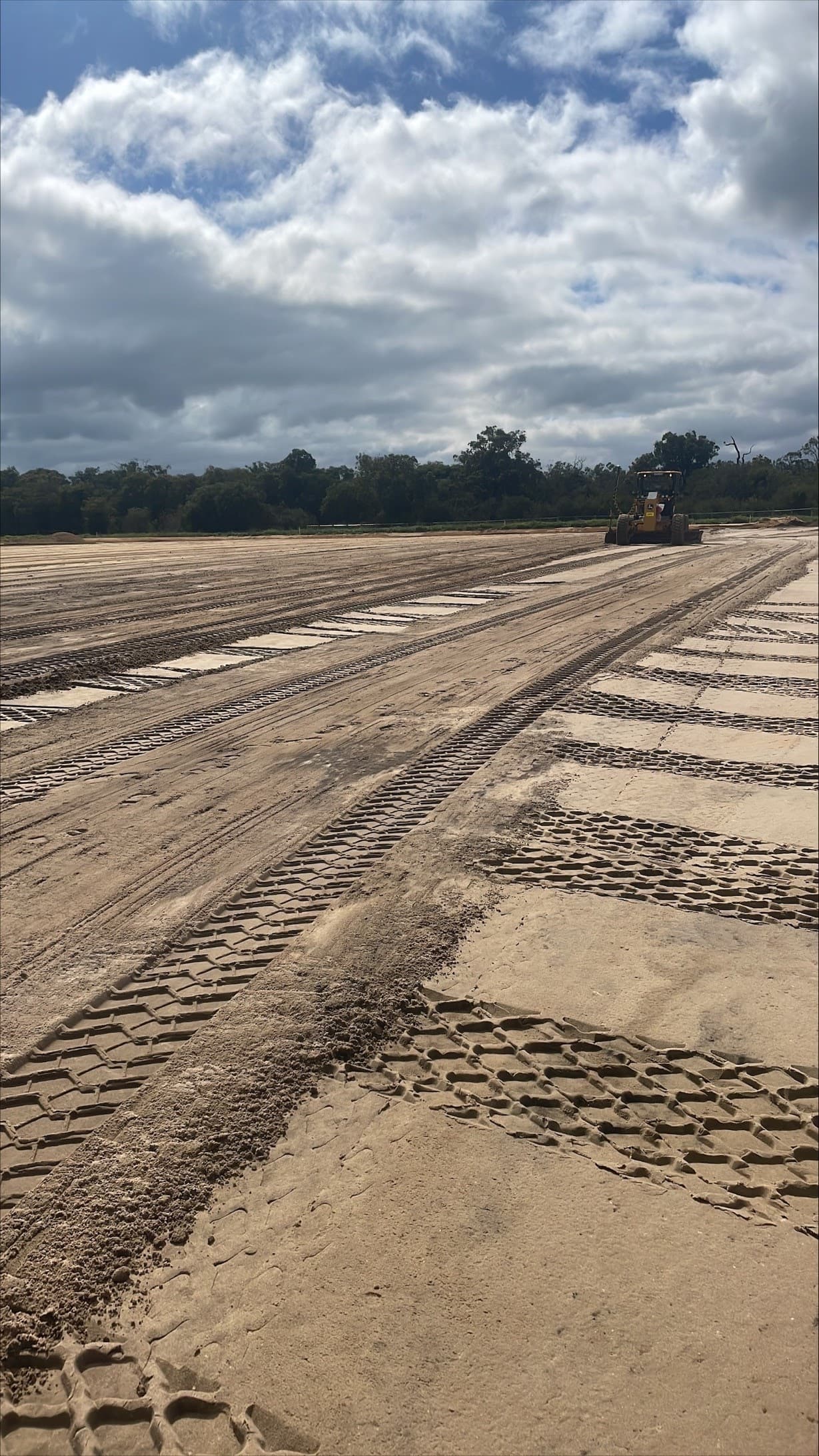
Mid West surveying projects

Survey coverage for Mid West WA projects

Survey teams support mining, renewables, roads and land development programs from Geraldton through to Meekatharra with planned control networks, UAV capture and contract-ready documentation.

Priority Mid West survey services

Noble Surveys plans mobilisation across Geraldton, Dongara, Northampton, Mullewa, Morawa, Three Springs, Mingenew, Perenjori, Cue, Meekatharra and Mount Magnet based on scope, access, logistics and required deliverables.

Mining & NPI delivery

Survey control, shutdown set-out and UAV evidence for Mid West pits, haulage and non-process infrastructure.

  • • Bench pickups, stockpile reconciliation and TSF monitoring
  • • Dewatering, plant upgrades and HV power alignments with QA packs
  • • Embedded support for mining survey teams

Civil, roads & renewables

Control, UAV and machine control workflows for road duplications, wind and solar builds linking Geraldton to inland towns.

Land development & utilities

Townsite expansions around Dongara, Geraldton and Northampton need responsive set-out, as-builts and service locating.

Regional mobilisation

How we keep Mid West programs moving

Logistics, control and reporting frameworks are planned around Mid West access, approvals and QA requirements. Site data is reconciled to MGA2020 or project grids so Perth and regional decision-makers share the same evidence.

  • • FIFO and drive-in mobilisation scheduled around crew availability, inductions and safety plans
  • • GCP networks, GNSS loops and QA notes referenced to local town datums
  • • Viewer links, LandXML, DWG and contract commentary issued to agreed timelines
  • • Coordination with utilities, renewable EPCs and Main Roads WA for approvals

Mobilisation & logistics

Crews, UAV platforms and survey equipment are allocated to suit the scope, location and timing of each project, with mobilisation plans covering Morawa, Three Springs, Perenjori and Mount Magnet. Fatigue management, access permits and weather contingencies are confirmed before crews roll.

Control & capture

Combined GNSS/TS loops, UAV GCPs and LiDAR campaigns maintain traceability for remote works, with UAV surveys tied back to site grids and independent QA checks.

Reporting & QA

Volume reports, progress overlays and as-built deliverables are issued alongside commentary for contract administrators, renewable EPCs and shire approvals.

Coverage

From Geraldton coast to inland resource towns

Whether it's renewables near Northampton, gas plants around Dongara or rail and mining hubs around Cue, Meekatharra and Mount Magnet, the same QA frameworks and survey processes support every scope.

Coastal hubs

Geraldton, Dongara and Port Gregory projects benefit from rapid UAV capture, set-out and machine control servicing port, utility and renewables work.

Agriculture & civil towns

Northampton, Mullewa, Morawa, Three Springs and Mingenew upgrades blend land development, road duplications and utility relocations.

Inland mining corridor

Perenjori, Cue, Meekatharra and Mount Magnet programs rely on recurring mining survey pickups, UAV evidence and QA documentation for sustaining capital.

How this helps on site

Mid West proof of delivery

Examples of how Noble Surveys keeps mining, renewables and infrastructure programs on schedule across the region.

Scenario

Geraldton renewable hub set-out & UAV verification

A wind and solar developer needed planned mobilisation for pad set-out, trench alignments and aerial progress evidence near Geraldton and Greenough.

Noble Surveys approach

Established MGA2020 and project-specific grids, captured UAV orthos + LiDAR weekly, issued cut/fill overlays and QA packs that integrated with contractor progress claims.

Deliverables issued

  • UAV orthomosaics + DSM/DTM splits
  • LandXML + DWG stakeout sets for pads, trenches and cable routes
  • Cut/fill heat maps tied to project grid
  • Progress reporting with photo keys

Outcome / risk reduced

Kept EPC and civil supervisors aligned on volumes, trench readiness and cable installation progress using a shared survey dataset.

UAV surveysConstruction surveysAs-built surveysMid West
Need the same outcome? Start a conversation.
Scenario

Mount Magnet haul road upgrade and TSF monitoring

A mining operator near Mount Magnet needed GNSS control upgrades, haul road set-out and weekly TSF monitoring while maintaining production.

Noble Surveys approach

Coordinated FIFO and drive-in mobilisation to rebuild control networks, manage machine control uploads and combine UAV + ground pickups for TSF lift checks.

Deliverables issued

  • GNSS/TS loop reports tying project to MGA2020
  • Machine control TTM/GC3 packages with change logs
  • TSF surveillance dashboards and variance commentary
  • As-built strings for dozer push-up and drain works

Outcome / risk reduced

Provided defendable evidence for internal governance and contractors, reducing rework on haul road realignments and TSF lift approvals.

Mining surveysMachine controlUAV surveysMid West
Need the same outcome? Start a conversation.

Mid West survey FAQs

Answers for project managers and contract administrators planning work across Geraldton and inland towns.

How quickly can crews mobilise to inland Mid West towns?

Mobilisation timing depends on crew availability, site access, inductions, approvals, fatigue management and project scope. Geraldton, coastal and inland Mid West programs are planned in consultation with clients so capture windows align with logistics and safety requirements.

Do you align deliverables to council or Main Roads WA schemas?

Yes. As-built and documentation packs can be prepared for local government A-Spec, D-Spec, R-Spec and O-Spec requirements, plus Water Corporation DS-80 or MRWA specifications when requested by the project owner.

Can Mid West UAV captures tie into project or mine grids?

Each UAV sortie includes measured GCPs and QA checkpoints referenced to MGA2020 or the project/mine grid. Outputs are reconciled back to client control before orthos, point clouds, DSM/DTM files or viewer links are issued.

Need Mid West survey coverage?

Speak with our leadership team about mobilising UAV capture, control networks, machine control support and QA reporting for your next Geraldton or inland program.

Priority services in this region

Capabilities already mobilised locally so projects can start quickly.

Service

Mining survey support for tailings, dewatering and NPI works

Mining survey support for tailings dam construction, NPI, dewatering, haul roads and operational infrastructure across WA. Noble Surveys helps mining and construction teams establish reliable control, set out works, capture as-builts and issue practical records for project, contractor and operational review.

Learn more

Service

Construction surveying support for WA projects

Construction surveying support for set-out, machine control, QA checks and as-built documentation across civil, building and infrastructure projects. Noble Surveys helps site teams work from the right control, issue clearer records and keep construction moving with practical survey support.

Learn more

Service

UAV drone surveys for mining, construction and infrastructure WA

Turn aerial data into survey-backed evidence for progress claims, volume checks, construction tracking and project decisions, with measured ground control and QA points improving confidence in the results.

Learn more

Service

As-built survey documentation for handover and authority review

As-built survey documentation that records what has been constructed, supports authority and asset-owner review, and gives project teams clear files for handover, operation and future works.

Learn more

Service

Machine control modelling and survey support across WA

Machine control model preparation and survey support for earthworks, roads, pads, drains and construction staging. Noble Surveys helps project teams convert approved design information into field-ready surfaces, strings and guidance files aligned to site control and current revisions.

Learn more

Service

Land development survey support across WA

Land development survey support for subdivisions, civil works, roadworks, drainage, utilities and authority handover across WA. Noble Surveys helps developers, engineers and contractors establish control, set out works, capture as-built records and prepare documentation for project and authority review.

Learn more

Service

Engineering survey support for design, construction and verification

Engineering survey support for design, construction and project verification across WA. Noble Surveys helps engineers, designers and contractors establish control, capture site conditions, check works against approved design information and prepare practical survey records for review.

Learn more

Service

Infrastructure survey support for roads, bridges and utilities across WA

Infrastructure survey support for roads, bridges, drainage, utilities and public works across WA. Noble Surveys helps contractors, engineers and asset owners establish control, set out works, monitor critical elements, capture as-built records and prepare practical documentation for project and authority review.

Learn more